MAGNITUDE 3.7 EARTHQUAKE NEAR sea of galilee ACCURATELY DETECTED USING ONLY TWO DISTANT STATIONS
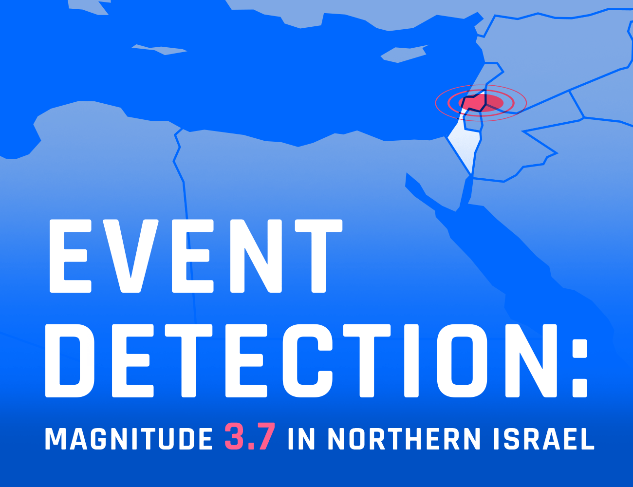
On January 23, 2022, at 10:28:06, a magnitude 3.6 earthquake struck approximately 20km south of the Sea of Galilee, with shaking felt across Israel including the major cities of Jerusalem and Tel Aviv . Using two seismic arrays located relatively far from the earthquake epicenter, SeismicAI’s system detected the event in real time, providing 15 seconds of advanced warning to Jersualem and Tel Aviv.
BACKGROUND
Israel has a long recorded history of major earthquakes, mostly originating along the Dead Sea Transform fault system, which is part of the great rift valley system stretching from Africa to Syria. Thanks to Israel’s detailed historical documentation stretching many hundreds of years back, we know that large destructive earthquakes, with magnitudes up to 7.5 occur in the region approximately every 100 years. The most recent earthquake of this magnitute hit in 1927 near the city of Jericho and severely damaged multiple cities including Jerusalem, Nablus, Jericho, and Tiberias, killing approximately 300 people. In preparation for a possible strong earthquake in the near future, SeismicAI has deployed a pilot early warning system in several locations across Israel. One of the main challenges in earthquake early warning in Israel is that the faults are located on the border with the neighboring country of Jordan, meaning that station coverage can only be achieved on one side of the fault, resulting in poor azimuthal coverage which traditional early warning technologies struggle with. SeismicAI’s technology which incorporates array seismology can solve this challenge.
Timeline
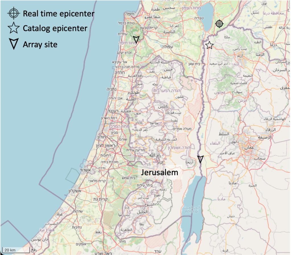
On January 23, 2022, at 10:28:06, an earthquake of magnitude 3.6 – one of the largest incidents since the pilot began – hit close to the Israeli-Jordanian border, about 20km south of the Sea of Galilee. The closest station, located about 53 km west of the epicenter, detected the non-damaging P-wave of the event at 10:28:15. The second station, located about 82km south of the epicenter, detected the P-wave at 10:28:21. Just one second later, at 10:28:22, the system identified the event location and magnitude with sufficient accuracy to issue an alert, leaving 15 seconds of warning time before the potentially damaging S-wave hit Jerusalem at 10:28:37. Since the system operated as a pilot at the time, warnings were issued only to selected users and not to the general public.
Accuracy
Our real-time estimate of the epicenter location, 32.734 N 35.690°E, was highly accurate – only 14km from the catalog (calculated after the event) epicenter estimate of 32.619 N 35.609°E. In addition, our magnitude estimate of 3.4-3.5 was very close to the catalog magnitude.
This is one of the world’s first widely-felt earthquakes to be detected in real time by just two seismic stations, while providing considerable warning time. It demonstrates the tremendous potential of SeismicAI’s array technology for fast and accurate detection of earthquakes in border regions and with a small number of seismic stations.