

Regional Earthquake Risk Guide for Mexican Businesses
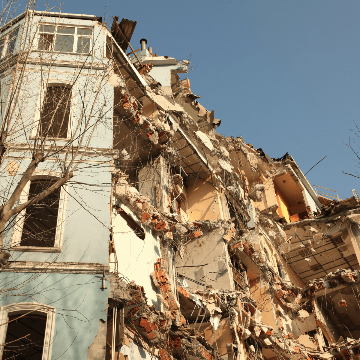
Mapping seismic exposure across Mexico’s coastal, central and northern regions
Why Regional Risk Varies Across Mexico
Mexico’s earthquake risk is not evenly distributed. Exposure varies significantly depending on proximity to active fault systems, particularly the subduction zone along the Pacific coast, as well as local geological conditions such as soil composition. Businesses operating across multiple regions face meaningfully different levels of risk from one site to the next, which makes a single, uniform approach to preparedness insufficient.
A company that treats every one of its Mexican facilities the same way, regardless of region, risks either overinvesting in preparedness at low-exposure sites or, more concerning, underinvesting at sites that carry substantially higher seismic risk.
The Pacific Subduction Zone: Guerrero, Michoacán, Oaxaca and Jalisco
The states along Mexico’s Pacific coast, including Guerrero, Michoacán, Oaxaca and Jalisco, sit closest to the subduction boundary where oceanic plates slide beneath the North American plate. This region has historically produced some of the country’s largest earthquakes and remains the area of highest seismic activity in Mexico. Businesses with facilities in these states face both more frequent seismic activity and, in some cases, a shorter window before the destructive waves hit due to proximity to the source.
Ports, manufacturing sites, agricultural operations and coastal tourism infrastructure in this region all benefit from preparedness plans built around shorter warning windows, since automated responses and well-rehearsed employee actions matter even more when there are fewer seconds available to act.
Central Mexico: Mexico City and the Trans-Mexican Volcanic Belt
Central Mexico, including the capital and surrounding states, sits farther from the subduction zone but is not low risk. Mexico City’s lakebed soils amplify shaking transmitted from distant earthquakes, and the broader central region includes its own local fault systems that can produce shallow, regionally significant earthquakes independent of coastal activity.
States such as Puebla, Morelos and the State of Mexico share some of this dual exposure, given their proximity to both the capital’s amplification zone and localized fault activity within the volcanic belt, which makes central Mexico a region where two very different types of seismic risk can overlap.
Lower-Risk but Not Risk-Free Regions
Northern Mexico generally experiences lower seismic activity than the Pacific coast or central regions, but lower risk is not the same as no risk. A business headquartered in a lower-risk northern state but dependent on suppliers or facilities along the Pacific coast still carries meaningful indirect exposure that continuity planning should account for.
Supply chain mapping is a useful exercise here. A business may have no facilities in a high-risk state at all, yet still depend heavily on a single supplier or logistics partner based in one, which means its own continuity planning should extend beyond its own four walls.
Where SeismicAI Operates in Mexico
SeismicAI’s earthquake detection and early warning technology is deployed across North and Central America, Europe and Asia, with a dedicated presence in Mexico enabling the support of organizations across the country. SeismicAI maintains a Mexico office, placing the company’s local team close to the region it serves, from high-exposure coastal states to the amplification-prone soils of the capital.
SeismicAI coverage in Mexico currently includes Chiapas, Oaxaca, Guerrero, Michoacán, Jalisco, Colima, Puebla, Morelos, Estado de México, and Ciudad de México. More regions will be added soon. This regional footprint allows SeismicAI to support organizations wherever they operate in Mexico, adapting its earthquake early warning to the specific seismic profile of each site rather than applying a single generic standard nationwide.
Matching Preparedness to Regional Exposure
The most effective earthquake preparedness strategy accounts for the specific conditions of each site rather than applying a single national standard everywhere. A distribution center in Oaxaca, an office tower in Mexico City and a facility in northern Mexico each warrant a tailored approach to warning thresholds, response protocols and staff training, informed by the real seismic profile of that specific location.
SeismicAI’s earthquake early warning is designed to support exactly this kind of tailored approach, calculating a countdown before the destructive waves hit that is specific to each site rather than applying a single warning uniformly across an organization’s entire footprint in Mexico.
Frequently Asked Questions
Which parts of Mexico have the highest earthquake risk?
The Pacific coast states, including Guerrero, Michoacán, Oaxaca and Jalisco, sit closest to the subduction zone and experience the most frequent and significant seismic activity in Mexico.
Does SeismicAI operate in Mexico?
Yes. SeismicAI maintains a Mexico office, and ShakeWatch coverage extends to SeismicAI coverage in Mexico currently includes Chiapas, Oaxaca, Guerrero, Michoacán, Jalisco, Colima, Puebla, Morelos, Estado de México, and Ciudad de México. Additional regions will also be included soon.